
NASA’s Sentinel-6B to become global reference satellite for sea level data in January
NASA said its Sentinel-6B sea level satellite had passed all its initial system checks as...
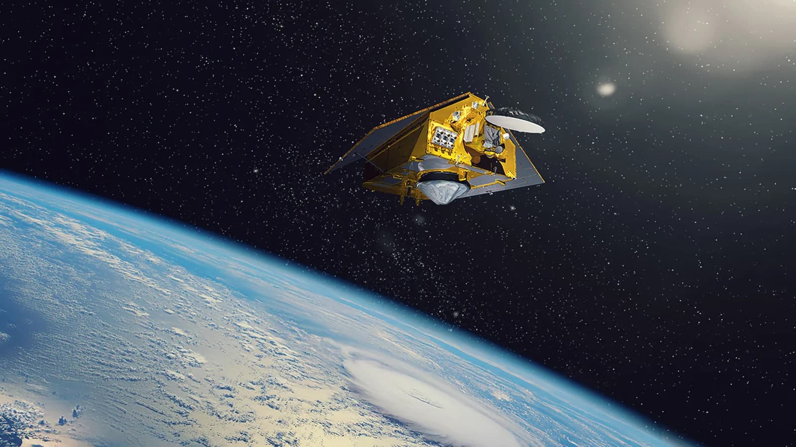
NASA said its Sentinel-6B sea level satellite had passed all its initial system checks as of Oct. 30 and will become the reference satellite for other sea-level missions in January, according to a NASA science blog post.
A reference satellite is the one other missions compare their data against. The checks ensure its data meets the strictest quality and accuracy standards, NASA said. The satellite launched on Nov. 16, 2025, aboard a SpaceX Falcon 9 rocket from Vandenberg Space Force Base in California, according to NASA’s launch release. It is the twin of Sentinel-6 Michael Freilich, which launched in November 2020 and serves as the reference satellite now.
Together, the two make up the Copernicus Sentinel-6/Jason-CS (Continuity of Service) mission, a U.S.-European partnership. NASA said the pair’s high-precision ocean measurements are used to improve hurricane forecasts, help protect infrastructure and benefit industries such as shipping.
How the satellites measure the sea
Each Sentinel-6 satellite carries a radar altimeter, an instrument that bounces thousands of radar pulses per second off the crests and troughs of waves, NASA said. Ocean height is worked out by timing how long the reflected pulses take to return to the spacecraft. The same instrument records wave size and marine wind speed. The satellite also will provide information on atmospheric temperature and humidity, according to NASA’s launch release.
Because warm water expands, NASA said, sea level offers insight into both the volume and the temperature of ocean water.
The mission is the latest in a series of ocean-observing radar altimetry missions. NASA said those missions have monitored Earth’s seas continuously, and along the same ground track, since the early 1990s. The European Space Agency (ESA) has said the Sentinel-6 mission continues that record until at least 2030. The first satellite carries the name of Michael Freilich, a former director of NASA’s Earth Science Division, according to NASA.
El Niño, an accompanying orbit and open questions
NASA said both satellites already are providing data during what oceanographers expect to be a historic El Niño. El Niño is a naturally occurring pattern in which warmer-than-usual central and eastern Pacific water shifts global weather. NASA said the data will help scientists study sea level changes linked to it and track long-term changes in global sea level.
Sentinel-6 Michael Freilich currently flies 30 seconds ahead of its twin. In the near future, it will move into an accompanying orbit, which NASA said will let the pair deliver higher-resolution data than they can alone.
The post gives no accuracy figures or calibration results, so the claim about meeting the strictest standards rests on NASA’s word. The El Niño description is an expectation, not a confirmed event. NASA gave no date for the orbit change and did not say how much finer the resolution will be.
Sentinel-6B is due to take over the reference role in January. NASA’s science team published the update Nov. 16 on its Sentinel-6/Jason-CS blog.
Source: https://interestingengineering.com/space/nasa-sentinel-6b-reference-satellite
Get the latest news delivered to your inbox.
Related articles