
MIT’s new drone system plans collision-free paths through unknown moving obstacles
MIT researchers have developed an autonomous navigation system that can plan collision-free flight paths for...
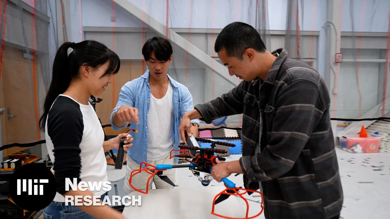
MIT researchers have developed an autonomous navigation system that can plan collision-free flight paths for drones in unfamiliar environments.
Called SANDO, the method lets unmanned aerial vehicles avoid obstacles that may move unpredictably while mapping their surroundings.
The system calculates efficient trajectories and mathematically guarantees that the planned path will remain collision-free.
The approach could help drones operate in challenging situations such as wildfire response, search and rescue missions in collapsed buildings, mine exploration, and package delivery in crowded areas.
Avoids moving obstacles
SANDO (Safe Autonomous Trajectory Planning for Dynamic Unknown Environments) is an autonomous trajectory-planning system designed to help unmanned aerial vehicles (UAVs) navigate unfamiliar environments while avoiding moving obstacles. The system is designed for situations where a drone has no existing map and cannot predict exactly how objects around it will move.
Most navigation systems are designed for either unknown environments with static obstacles or known environments with predictable conditions. Systems that handle moving obstacles often avoid them without providing a formal mathematical guarantee that the vehicle will remain collision-free.
SANDO addresses this problem by generating flight paths that are mathematically proven to avoid collisions, even when obstacles are moving unpredictably. The system only needs to know the maximum speed that surrounding obstacles could reach. It can then calculate how far each obstacle could potentially travel within a given period and account for those possible movements when planning the drone’s route.
The system begins by creating a three-dimensional safety corridor through the environment. This corridor consists of connected regions of space that the UAV can safely travel through. Unlike conventional safety corridors, SANDO makes the corridor time-dependent, allowing it to account for the future movement of dynamic obstacles.
SANDO uses data from the drone’s onboard cameras and sensors to detect, group, and track obstacles. Rather than attempting to predict the exact future position of each object, the system estimates the maximum area an obstacle could reach based on its highest possible velocity.
It represents this potential movement as a sphere surrounding the obstacle. The sphere expands according to the obstacle’s maximum speed and the amount of time being considered. SANDO then constructs the UAV’s safety corridor around these potential movement regions, ensuring that the planned trajectory remains separated from the obstacles.
Guarantees drone safety
The system also uses a heat-map-based planning method to identify areas containing large concentrations of obstacles. These regions are treated as higher-risk areas, allowing the planner to guide the UAV around them instead of simply finding the shortest geometric route.
After establishing a collision-free corridor, SANDO optimizes the UAV‘s trajectory within that space to find an efficient path to its destination. The system continuously updates the corridor as the drone moves and recalculates its trajectory when the surrounding environment changes.
The researchers designed the optimization process to run quickly enough on the UAV’s onboard computer. This allows the drone to respond to sudden changes without depending entirely on an external computer or a pre-existing map.
Simulation tests showed that SANDO reached destinations faster than several existing navigation systems while avoiding collisions across the tested environments. The system was also tested on a real UAV in 12 flights involving dynamic obstacles, with the drone successfully replanning its trajectory using onboard computing and sensors.
“Its combination of spatiotemporal planning, formal safety analysis, and hardware validation provides a practical approach to autonomous flight in complex dynamic environments,” says Fei Gao, an associate professor at Zhejiang University in China, who was not involved with this research, as reported by MIT News.
The technology could be useful for autonomous drones operating in environments such as disaster zones, collapsed buildings, underground mines, wildfire areas, and crowded locations. Future work could focus on reducing its computational requirements and combining the navigation system with machine-learning mode.
Source: https://interestingengineering.com/innovation/mit-drone-planner-flight
Related articles

Windows and Surface event: how to watch and what to expect
Microsoft is heading to San Francisco this morning to reveal what's coming next for Windows and Surface and a "conversation on how local AI will shape the next chapter of the PC.

Amazon uses its tracking data to guess whether shoppers have a flat butt and no friends
Most people know that Amazon collects data about your shopping history to serve up personalized product recommendations.

My cats hate to see this great upright carpet cleaner coming
For a while, I swore by Bissell’s Little Green carpet cleaner.

Ring’s first smart lock can be charged by turning a dial when the battery unexpectedly dies
Amazon announced its first smart lock that eliminates the need for a physical backup key should its rechargeable battery die while you're away from home.
US Army tests autonomous robot mules for frontline resupply and evacuation
The U.S. Army has selected six companies to develop production-ready robotic vehicles for a program...

Wireless bipolar electrodes increase zinc-air battery power density by 80%
Scientists have invented a trick to make batteries up to 80 percent more powerful without...