Researchers turn cell phone movements into new tool for tracking carbon emissions
A machine learning method has been developed by researchers to calculate carbon dioxide emissions caused...
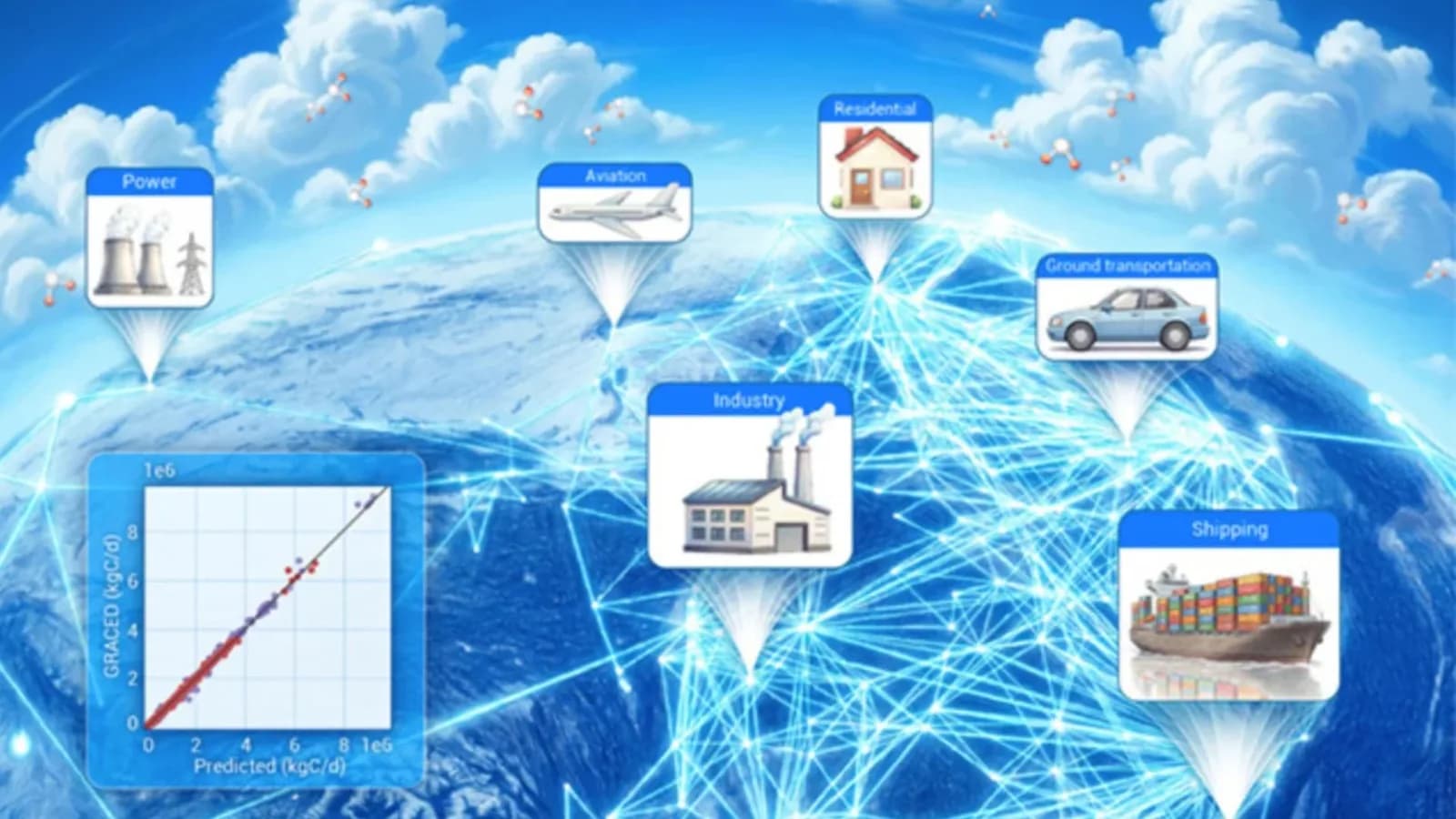
A machine learning method has been developed by researchers to calculate carbon dioxide emissions caused by people’s actions. By analyzing group movement data from mobile phones, this method finds the main places where people meet and tracks how these patterns change over time. According to the study published in The Innovation, there is a connection between daily travel habits in China and the pollution created by different industries. The scientists tested this method in Italy, the United States and Mexico.
The researchers achieved promising results by using human mobility as an additional measure of social and economic activity instead of depending entirely on traditional emissions records. Everyday movements, including commuting, transporting goods, travelling and shopping, create patterns that can help reveal energy consumption and related carbon emissions.
Using cell phone data for emission estimates
The study turned the location data of people into movement networks. In these networks, big cities are represented as points and the paths between them show how people move. Along with these movement maps, the team added information and population numbers to their study. After checking eight machine learning models the team found that LightGBM, a tree-based program, gave the best results. In the test, the movement of people predicted emissions from many industries with a perfect R-squared value of 1.00. Predictions for flights had an R-squared of 0.99 while land transport had 0.98. When tested with data split by date the R-squared values for these three categories stayed high at 1.00, 0.99 and 0.95.
Testing in countries using the GRACED database for Italy, the United States and Mexico gave R-squared scores of 0.91, 0.95 and 0.99. Also when used with the ODIAC records for these countries the model kept scores between 0.90 and 0.99.
Dynamic movement networks give information than fixed things like location or population density. Adding movement data to the calculation process made things more accurate especially for emissions that change over time. The results show that one week of past movement data is enough to make good predictions in the China case.
City connections as a way to plan for the climate
The study of movement also found groups of cities that are closely connected economically and could be treated as one unit for climate protection. These groups often don’t follow boundaries but focus on real economic areas connected by how people and goods move.
There are some limits to this study. For example phone data doesn’t cover everyone. Also people use their phones differently. Not all areas have the same network coverage. The current version of the algorithm also doesn’t take into account routines, holidays or changes in energy needs during different seasons. Over time the link between movement and pollution could change because more people work from home or use cars. Ultimately the system in this study works as a way to track emissions along with existing databases. It gives information about how people behave locally helping to spot fast changes, in pollution and making it easier to create better climate policies.
This research was published in The Innovation.
Source: https://interestingengineering.com/innovation/innovative-carbon-tracking-human-movement
Get the latest news delivered to your inbox.
Related articles